Inverness really feels like the middle of the country at times.
Though that’s not far from the truth. If you were to draw a straight line from the top of Shetland to the bottom of the Scottish mainland, then draw another from the westernmost inhabited part of Scotland (the south end of the Western Isles) to the easternmost part of the mainland (the coast somewhere near Peterhead), then by my crude calculation on Google Maps those lines would cross less than forty miles southeast of Inverness.
Anyway, it’s not just cartographical semantics. Inverness is also at major cross-roads of the Scottish road and rail networks, and you can easily travel in all four compass directions to discover great places. Within an hour or two, you have some of the best scenery, and most famous castles, distilleries, lochs, ruins, villages and much more, that Scotland can offer. We’re very lucky to live here.
This past weekend, we had two really nice walks. One was north of Inverness, near Evanton, overlooking the rigs of the Cromarty Firth. The other was to the south, near Boleskin, among the seemingly endless network of roads and paths that criss-cross the south side of Loch Ness; the quieter, less famous, but in my mind more interesting, side.
The weather is slowly warming, but the days are still quite short, the sun still hanging lazily in the sky and casting brooding afternoon light across slowly thawing landscapes. It’s a good time of year for photographs.
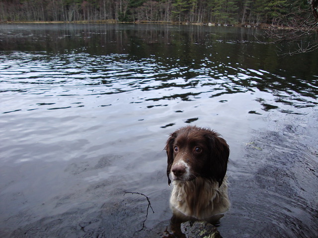
I took a few at the weekend and bunged them on Flickr. Enjoy.


I love this picture. It is beautiful and so is the dog!
Thanks Siobhan!